Counties with the most tornadoes in Illinois
Stacker

Canva
- Tornadoes since 2000: 14 (2.73 per 100 square miles)
- #624 nationally
- Tornadoes this year, as of May 31: 3
- #624 nationally
- Tornadoes this year, as of May 31: 3
#50. Winnebago County
Canva
- Tornadoes since 2000: 24 (2.76 per 100 square miles)
- #607 nationally
- Tornadoes this year, as of May 31: 3
- #607 nationally
- Tornadoes this year, as of May 31: 3
#49. Bureau County
Henryk Sadura // Shutterstock
- Tornadoes since 2000: 23 (2.77 per 100 square miles)
- #604 nationally
- Tornadoes this year, as of May 31: 0
- #604 nationally
- Tornadoes this year, as of May 31: 0
#48. Pike County

Canva
- Tornadoes since 2000: 16 (2.78 per 100 square miles)
- #596 nationally
- Tornadoes this year, as of May 31: 0
- #596 nationally
- Tornadoes this year, as of May 31: 0
#47. Randolph County
Canva
- Tornadoes since 2000: 14 (2.83 per 100 square miles)
- #576 nationally
- Tornadoes this year, as of May 31: 0
- #576 nationally
- Tornadoes this year, as of May 31: 0
#46. White County

Canva
- Tornadoes since 2000: 12 (2.87 per 100 square miles)
- #559 nationally
- Tornadoes this year, as of May 31: 0
- #559 nationally
- Tornadoes this year, as of May 31: 0
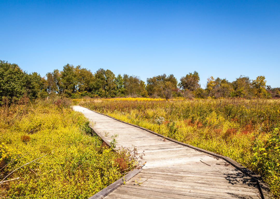
#45. Grundy County

Canva
- Tornadoes since 2000: 34 (2.87 per 100 square miles)
- #558 nationally
- Tornadoes this year, as of May 31: 1
- #558 nationally
- Tornadoes this year, as of May 31: 1
#44. McLean County
Canva
- Tornadoes since 2000: 19 (2.89 per 100 square miles)
- #551 nationally
- Tornadoes this year, as of May 31: 4
- #551 nationally
- Tornadoes this year, as of May 31: 4
#43. St. Clair County
Canva
- Tornadoes since 2000: 12 (2.90 per 100 square miles)
- #543 nationally
- Tornadoes this year, as of May 31: 0
- #543 nationally
- Tornadoes this year, as of May 31: 0
#42. Union County
Roberto Galan // Shutterstock
- Tornadoes since 2000: 10 (2.91 per 100 square miles)
- #541 nationally
- Tornadoes this year, as of May 31: 0
- #541 nationally
- Tornadoes this year, as of May 31: 0
#41. Johnson County

Canva
- Tornadoes since 2000: 31 (2.97 per 100 square miles)
- #516 nationally
- Tornadoes this year, as of May 31: 1
- #516 nationally
- Tornadoes this year, as of May 31: 1
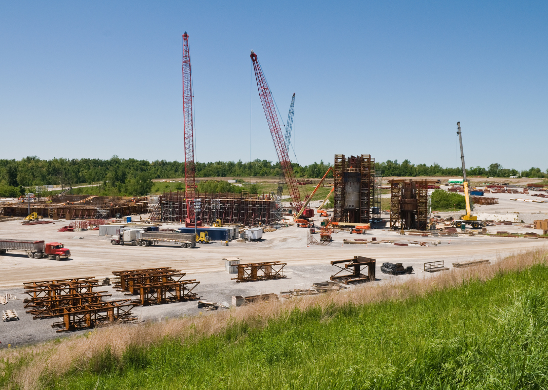
#40. Livingston County

Roberto Galan // Shutterstock
- Tornadoes since 2000: 7 (2.97 per 100 square miles)
- #508 nationally
- Tornadoes this year, as of May 31: 0
- #508 nationally
- Tornadoes this year, as of May 31: 0
#39. Alexander County

Canva
- Tornadoes since 2000: 17 (2.98 per 100 square miles)
- #504 nationally
- Tornadoes this year, as of May 31: 0
- #504 nationally
- Tornadoes this year, as of May 31: 0
#38. Jefferson County
Leigh Trail // Shutterstock
- Tornadoes since 2000: 12 (3.02 per 100 square miles)
- #490 nationally
- Tornadoes this year, as of May 31: 0
- #490 nationally
- Tornadoes this year, as of May 31: 0
#37. DeWitt County
Canva
- Tornadoes since 2000: 16 (3.08 per 100 square miles)
- #471 nationally
- Tornadoes this year, as of May 31: 3
- #471 nationally
- Tornadoes this year, as of May 31: 3
#36. Kane County
Canva
- Tornadoes since 2000: 18 (3.08 per 100 square miles)
- #468 nationally
- Tornadoes this year, as of May 31: 0
- #468 nationally
- Tornadoes this year, as of May 31: 0
#35. Jackson County

Canva
- Tornadoes since 2000: 35 (3.08 per 100 square miles)
- #466 nationally
- Tornadoes this year, as of May 31: 1
- #466 nationally
- Tornadoes this year, as of May 31: 1
#34. LaSalle County

Roberto Galan // Shutterstock
- Tornadoes since 2000: 28 (3.12 per 100 square miles)
- #457 nationally
- Tornadoes this year, as of May 31: 1
- #457 nationally
- Tornadoes this year, as of May 31: 1
#33. Vermilion County
Canva
- Tornadoes since 2000: 5 (3.12 per 100 square miles)
- #453 nationally
- Tornadoes this year, as of May 31: 0
- #453 nationally
- Tornadoes this year, as of May 31: 0
#32. Putnam County
Canva
- Tornadoes since 2000: 7 (3.14 per 100 square miles)
- #447 nationally
- Tornadoes this year, as of May 31: 0
- #447 nationally
- Tornadoes this year, as of May 31: 0
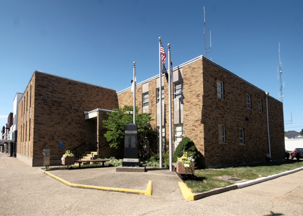
#31. Wabash County

Canva
- Tornadoes since 2000: 26 (3.16 per 100 square miles)
- #435 nationally
- Tornadoes this year, as of May 31: 7
- #435 nationally
- Tornadoes this year, as of May 31: 7
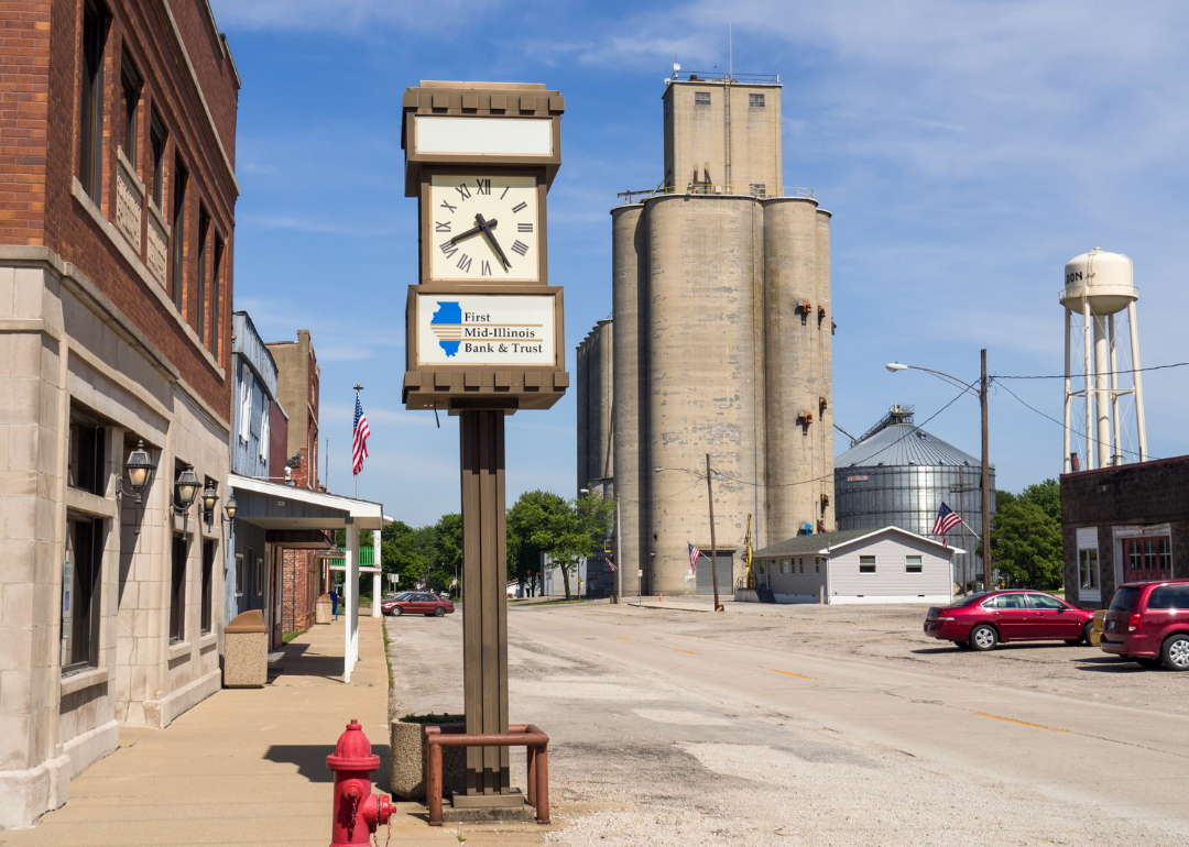
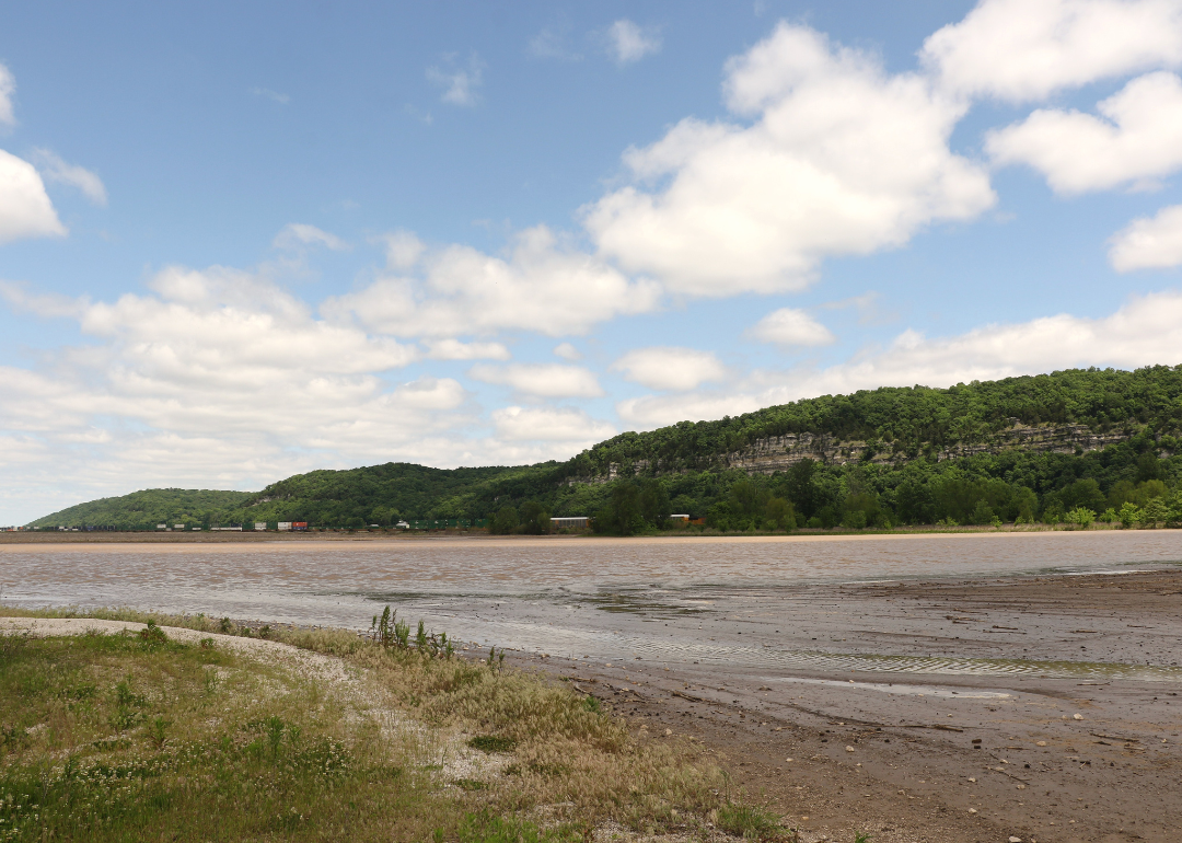
#30. Henry County
marythebarberphotos // Shutterstock
- Tornadoes since 2000: 13 (3.18 per 100 square miles)
- #426 nationally
- Tornadoes this year, as of May 31: 0
- #426 nationally
- Tornadoes this year, as of May 31: 0
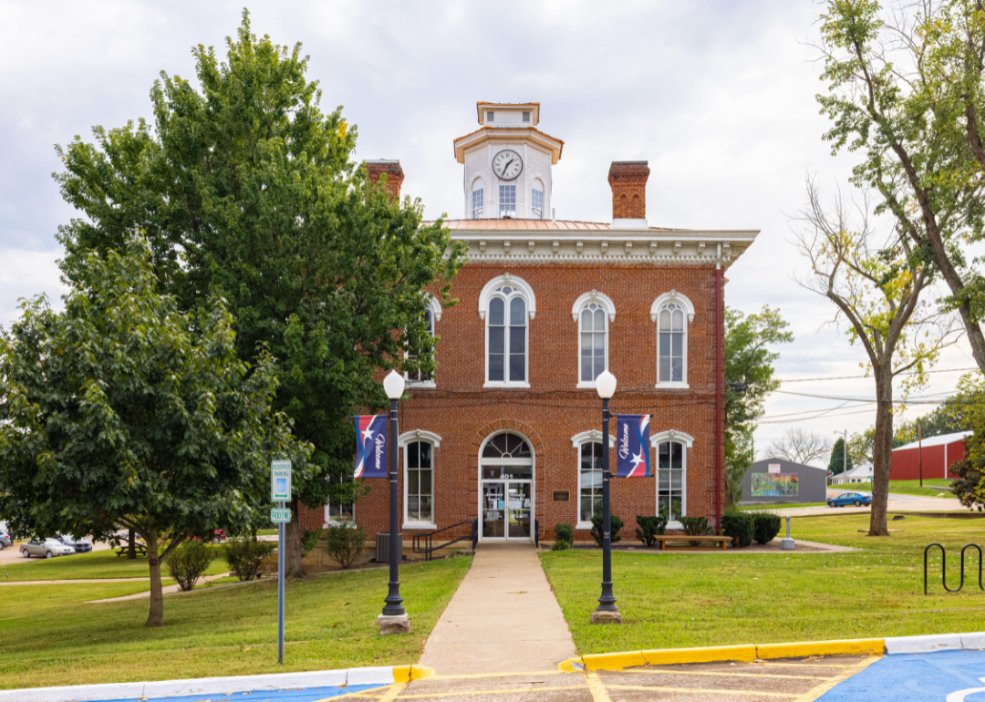
#29. Franklin County

Gregory S. King // Shutterstock
- Tornadoes since 2000: 8 (3.19 per 100 square miles)
- #421 nationally
- Tornadoes this year, as of May 31: 1
- #421 nationally
- Tornadoes this year, as of May 31: 1
#28. Scott County
Canva
- Tornadoes since 2000: 18 (3.20 per 100 square miles)
- #414 nationally
- Tornadoes this year, as of May 31: 1
- #414 nationally
- Tornadoes this year, as of May 31: 1
#27. Washington County
Canva
- Tornadoes since 2000: 22 (3.22 per 100 square miles)
- #406 nationally
- Tornadoes this year, as of May 31: 2
- #406 nationally
- Tornadoes this year, as of May 31: 2
#26. Whiteside County

Canva
- Tornadoes since 2000: 16 (3.29 per 100 square miles)
- #383 nationally
- Tornadoes this year, as of May 31: 2
- #383 nationally
- Tornadoes this year, as of May 31: 2
#25. Ford County

Canva
- Tornadoes since 2000: 24 (3.35 per 100 square miles)
- #364 nationally
- Tornadoes this year, as of May 31: 1
- #364 nationally
- Tornadoes this year, as of May 31: 1
#24. Madison County
Canva
- Tornadoes since 2000: 29 (3.36 per 100 square miles)
- #363 nationally
- Tornadoes this year, as of May 31: 1
- #363 nationally
- Tornadoes this year, as of May 31: 1
#23. Macoupin County
Jason Patrick Ross // Shutterstock
- Tornadoes since 2000: 16 (3.37 per 100 square miles)
- #358 nationally
- Tornadoes this year, as of May 31: 0
- #358 nationally
- Tornadoes this year, as of May 31: 0
#22. Clinton County

Samantha J. Darr // Shutterstock
- Tornadoes since 2000: 20 (3.52 per 100 square miles)
- #320 nationally
- Tornadoes this year, as of May 31: 2
- #320 nationally
- Tornadoes this year, as of May 31: 2
#21. Morgan County

Vladislav Gajic // Shutterstock
- Tornadoes since 2000: 16 (3.64 per 100 square miles)
- #294 nationally
- Tornadoes this year, as of May 31: 0
- #294 nationally
- Tornadoes this year, as of May 31: 0
#20. Piatt County
Kent Raney // Shutterstock
- Tornadoes since 2000: 16 (3.74 per 100 square miles)
- #278 nationally
- Tornadoes this year, as of May 31: 3
- #278 nationally
- Tornadoes this year, as of May 31: 3
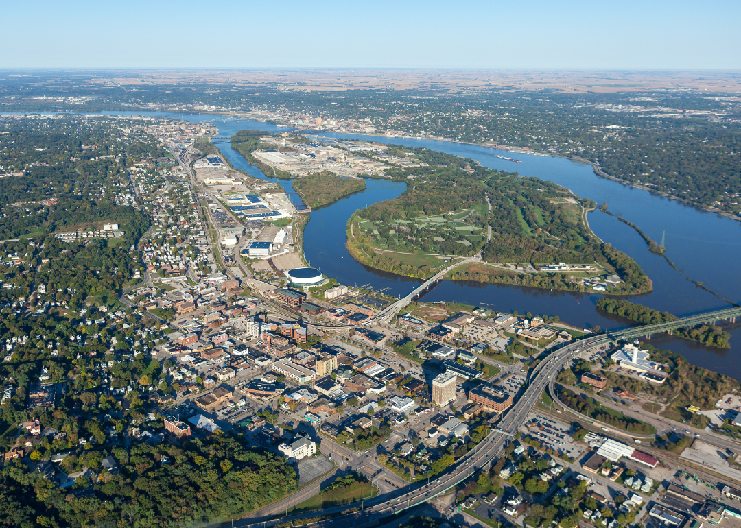
#19. Rock Island County
David Huffman // Shutterstock
- Tornadoes since 2000: 15 (3.90 per 100 square miles)
- #249 nationally
- Tornadoes this year, as of May 31: 3
- #249 nationally
- Tornadoes this year, as of May 31: 3
#18. Monroe County

Canva
- Tornadoes since 2000: 39 (3.91 per 100 square miles)
- #245 nationally
- Tornadoes this year, as of May 31: 3
- #245 nationally
- Tornadoes this year, as of May 31: 3
#17. Champaign County

Canva
- Tornadoes since 2000: 28 (3.98 per 100 square miles)
- #234 nationally
- Tornadoes this year, as of May 31: 1
- #234 nationally
- Tornadoes this year, as of May 31: 1
#16. Montgomery County
Hank Shiffman // Shutterstock
- Tornadoes since 2000: 8 (4.02 per 100 square miles)
- #229 nationally
- Tornadoes this year, as of May 31: 0
- #229 nationally
- Tornadoes this year, as of May 31: 0
#15. Pulaski County

Canva
- Tornadoes since 2000: 13 (4.06 per 100 square miles)
- #224 nationally
- Tornadoes this year, as of May 31: 3
- #224 nationally
- Tornadoes this year, as of May 31: 3
#14. Kendall County

Caileb Feik // Shutterstock
- Tornadoes since 2000: 24 (4.28 per 100 square miles)
- #190 nationally
- Tornadoes this year, as of May 31: 0
- #190 nationally
- Tornadoes this year, as of May 31: 0
#13. Mercer County

Canva
- Tornadoes since 2000: 17 (4.47 per 100 square miles)
- #157 nationally
- Tornadoes this year, as of May 31: 0
- #157 nationally
- Tornadoes this year, as of May 31: 0
#12. Bond County

Canva
- Tornadoes since 2000: 15 (4.58 per 100 square miles)
- #144 nationally
- Tornadoes this year, as of May 31: 2
- #144 nationally
- Tornadoes this year, as of May 31: 2
#11. DuPage County

Henryk Sadura // Shutterstock
- Tornadoes since 2000: 31 (4.78 per 100 square miles)
- #123 nationally
- Tornadoes this year, as of May 31: 2
- #123 nationally
- Tornadoes this year, as of May 31: 2
#10. Tazewell County

Canva
- Tornadoes since 2000: 40 (4.78 per 100 square miles)
- #122 nationally
- Tornadoes this year, as of May 31: 3
- #122 nationally
- Tornadoes this year, as of May 31: 3
#9. Will County
JL Jahn // Shutterstock
- Tornadoes since 2000: 14 (4.99 per 100 square miles)
- #108 nationally
- Tornadoes this year, as of May 31: 2
- #108 nationally
- Tornadoes this year, as of May 31: 2
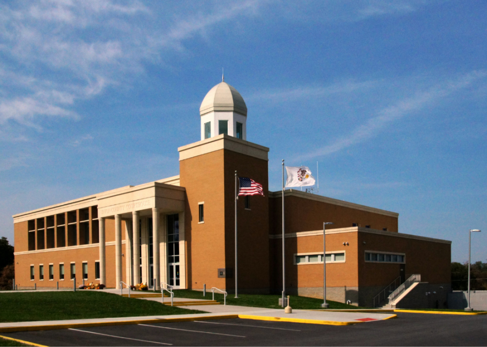
#8. Boone County

Canva
- Tornadoes since 2000: 34 (5.03 per 100 square miles)
- #104 nationally
- Tornadoes this year, as of May 31: 2
- #104 nationally
- Tornadoes this year, as of May 31: 2
#7. Kankakee County

eogebel // Shutterstock
- Tornadoes since 2000: 27 (5.12 per 100 square miles)
- #99 nationally
- Tornadoes this year, as of May 31: 1
- #99 nationally
- Tornadoes this year, as of May 31: 1
#6. Woodford County

Canva
- Tornadoes since 2000: 45 (5.18 per 100 square miles)
- #93 nationally
- Tornadoes this year, as of May 31: 3
- #93 nationally
- Tornadoes this year, as of May 31: 3
#5. Sangamon County

Canva
- Tornadoes since 2000: 38 (5.36 per 100 square miles)
- #84 nationally
- Tornadoes this year, as of May 31: 3
- #84 nationally
- Tornadoes this year, as of May 31: 3
#4. Christian County

Canva
- Tornadoes since 2000: 37 (5.99 per 100 square miles)
- #51 nationally
- Tornadoes this year, as of May 31: 2
- #51 nationally
- Tornadoes this year, as of May 31: 2
#3. Logan County

Canva
- Tornadoes since 2000: 36 (6.20 per 100 square miles)
- #48 nationally
- Tornadoes this year, as of May 31: 5
- #48 nationally
- Tornadoes this year, as of May 31: 5
#2. Macon County

Roberto Galan // Shutterstock
- Tornadoes since 2000: 16 (6.74 per 100 square miles)
- #29 nationally
- Tornadoes this year, as of May 31: 1
- #29 nationally
- Tornadoes this year, as of May 31: 1
#1. Massac County
Canva