Counties with the most tornadoes in Wisconsin
Stacker
Sam Wagner // Shutterstock
- Tornadoes since 2000: 6 (0.61 per 100 square miles)
- #1,940 nationally
- Tornadoes this year, as of May 31: 0
- #1,940 nationally
- Tornadoes this year, as of May 31: 0
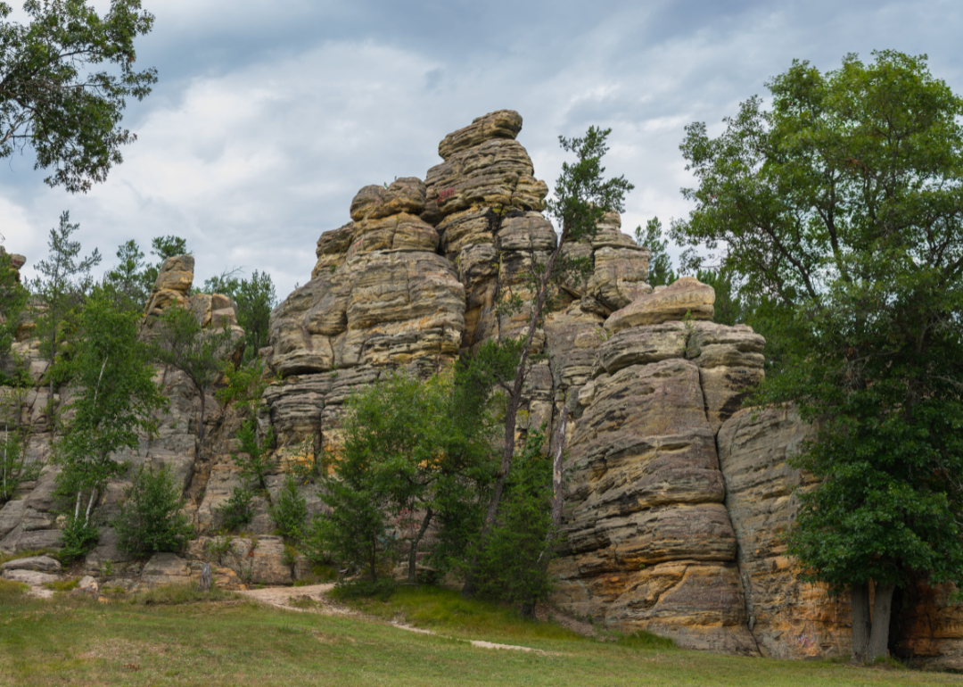
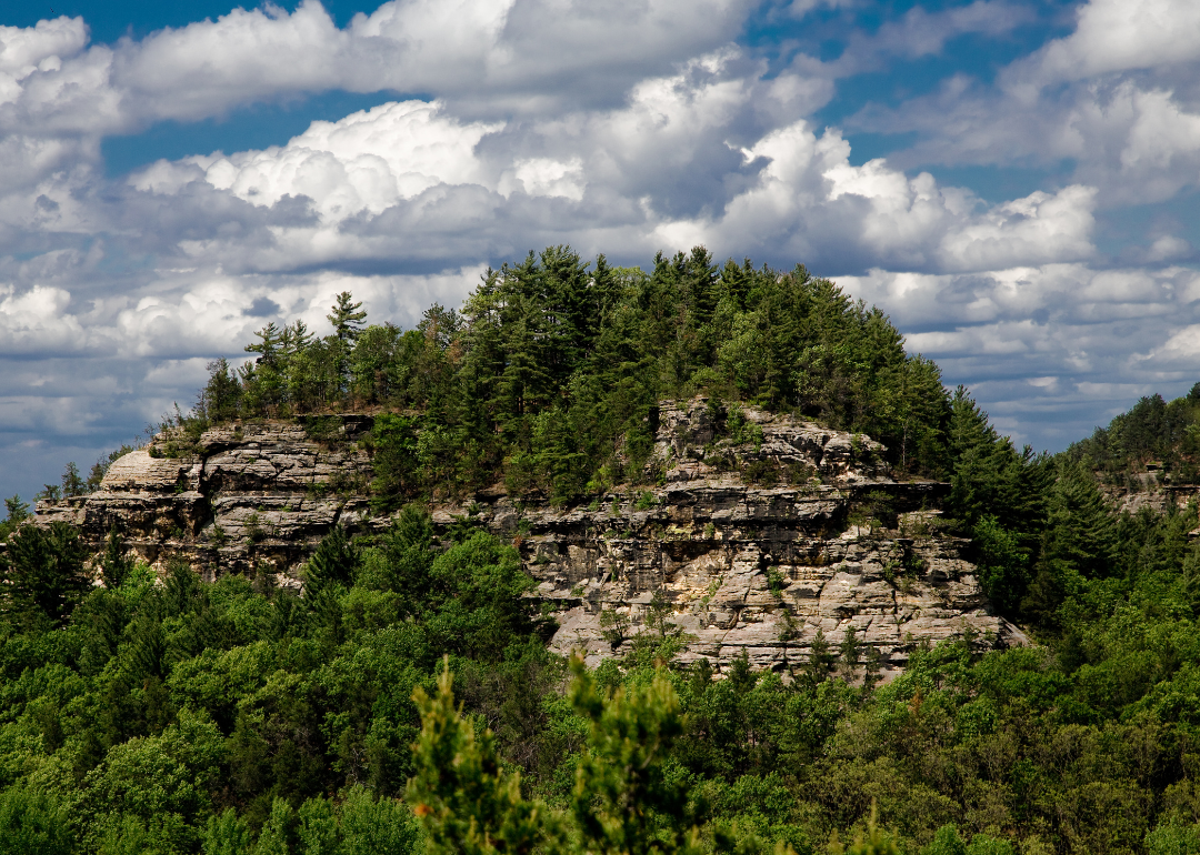
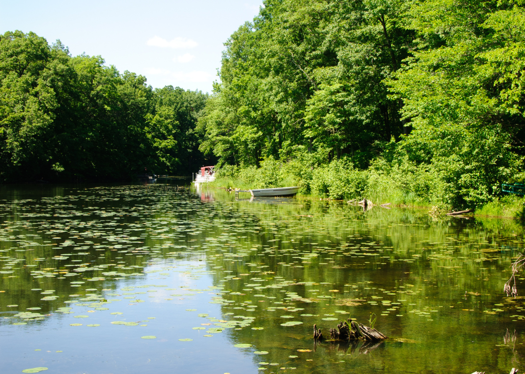
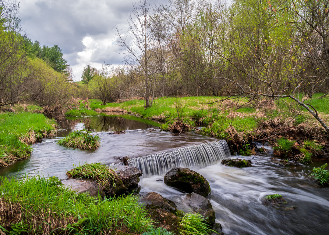
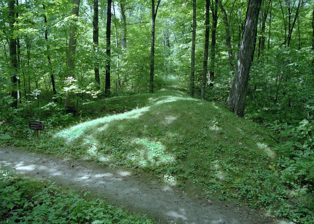
#49. Jackson County
Canva
- Tornadoes since 2000: 10 (0.71 per 100 square miles)
- #1,913 nationally
- Tornadoes this year, as of May 31: 0
- #1,913 nationally
- Tornadoes this year, as of May 31: 0
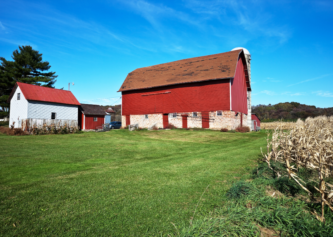
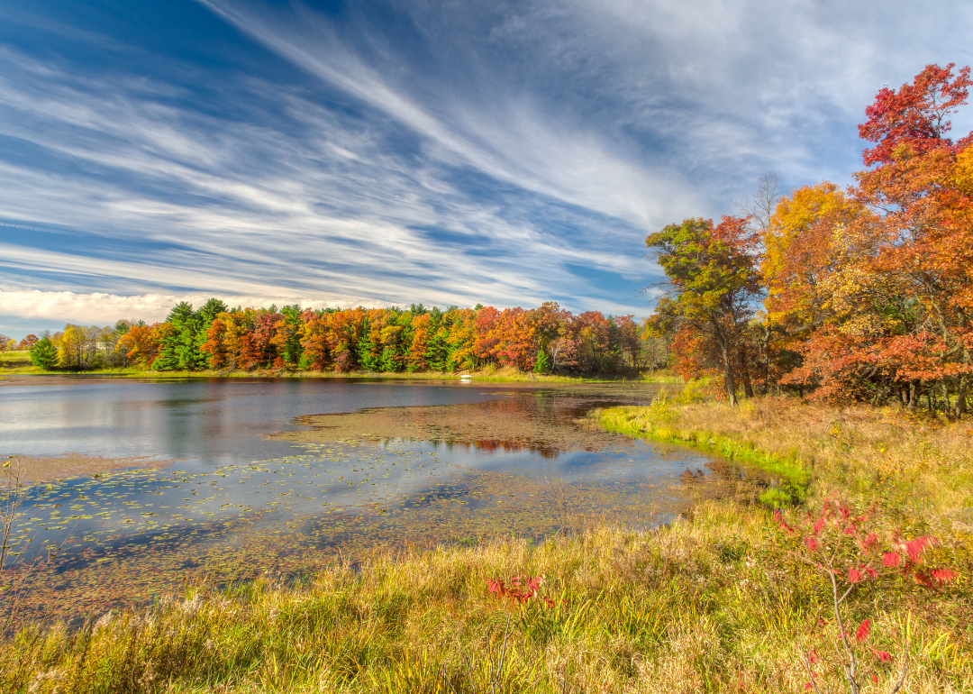
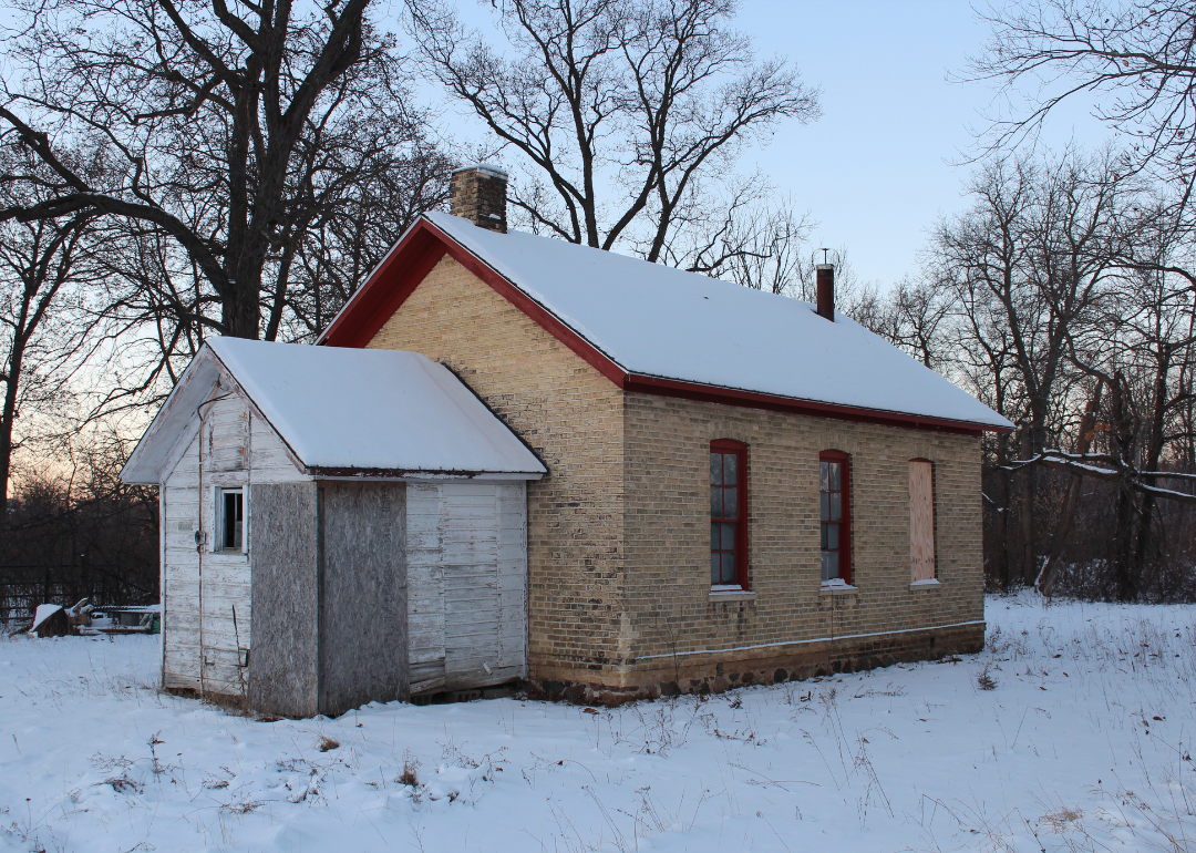
#48. Marinette County
Canva
- Tornadoes since 2000: 6 (0.75 per 100 square miles)
- #1,899 nationally
- Tornadoes this year, as of May 31: 0
- #1,899 nationally
- Tornadoes this year, as of May 31: 0
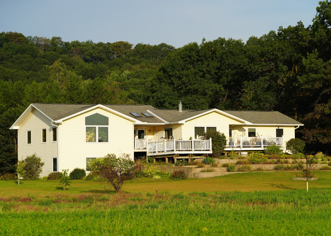
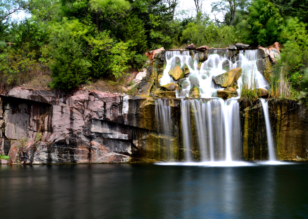
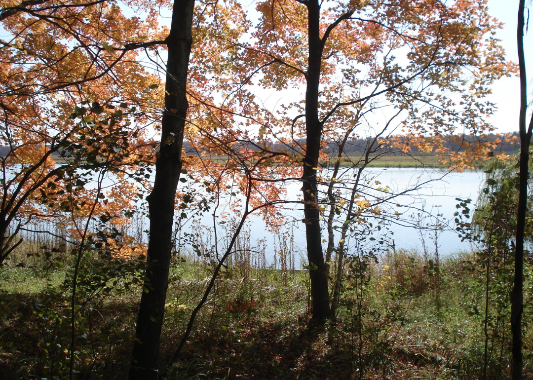
#47. Portage County
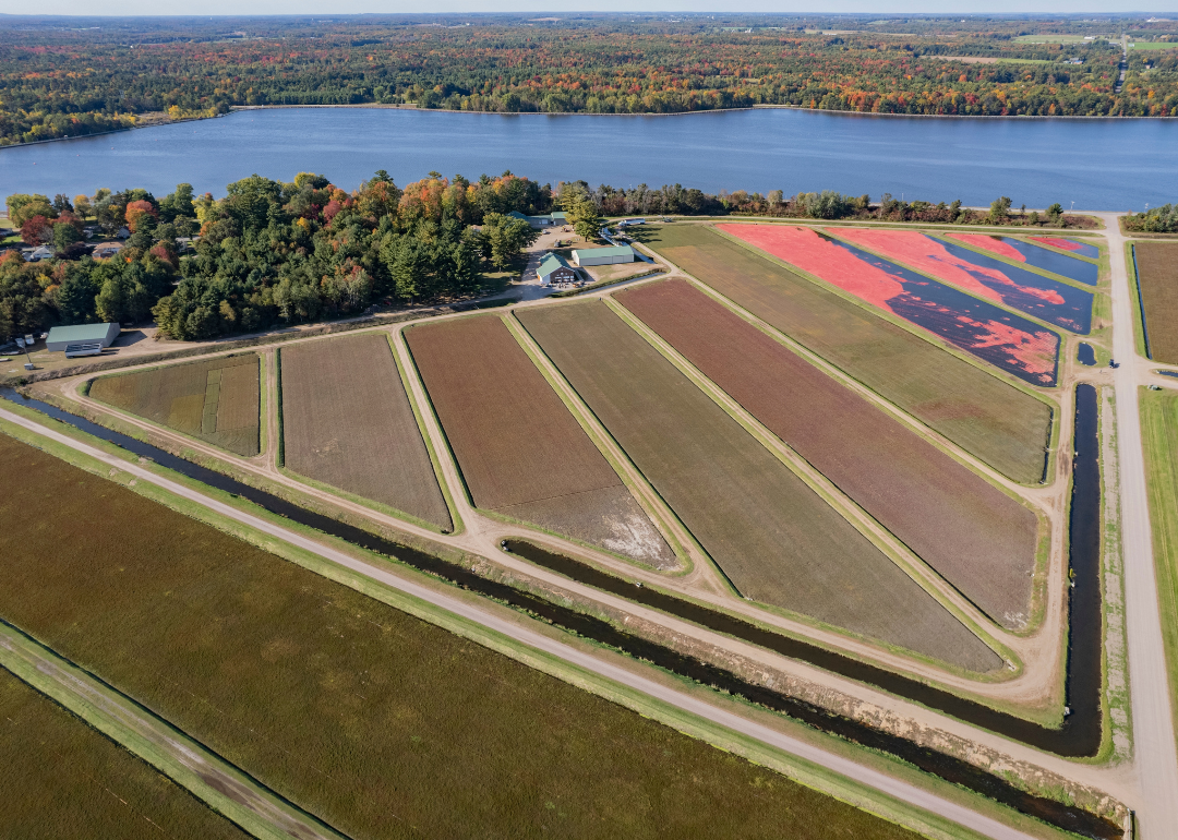
John Touscany // Shutterstock
- Tornadoes since 2000: 6 (0.76 per 100 square miles)
- #1,894 nationally
- Tornadoes this year, as of May 31: 0
- #1,894 nationally
- Tornadoes this year, as of May 31: 0
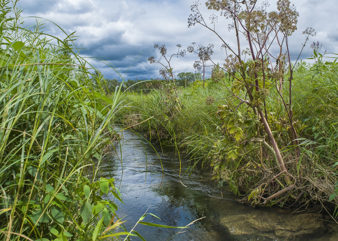
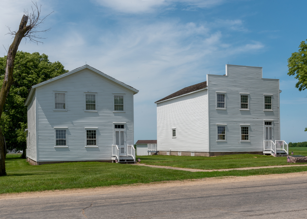
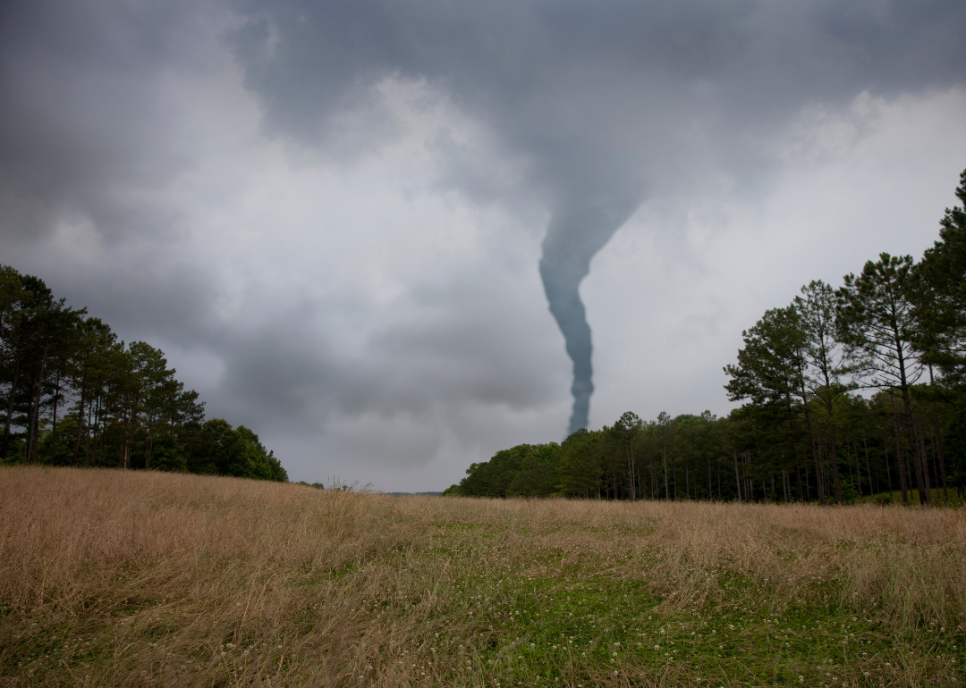
#46. Wood County
Jordan Krey // Shutterstock
- Tornadoes since 2000: 5 (0.77 per 100 square miles)
- #1,887 nationally
- Tornadoes this year, as of May 31: 0
- #1,887 nationally
- Tornadoes this year, as of May 31: 0
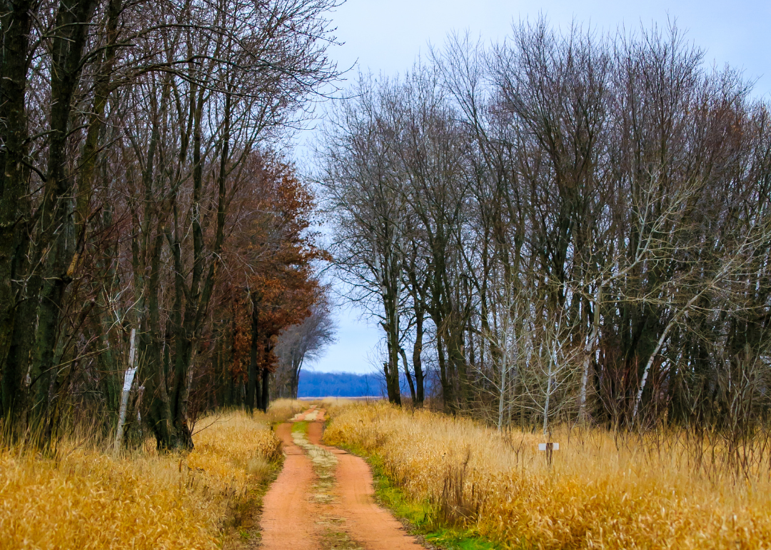
#45. Adams County
Brent Kelley // Shutterstock
- Tornadoes since 2000: 10 (0.80 per 100 square miles)
- #1,876 nationally
- Tornadoes this year, as of May 31: 0
- #1,876 nationally
- Tornadoes this year, as of May 31: 0
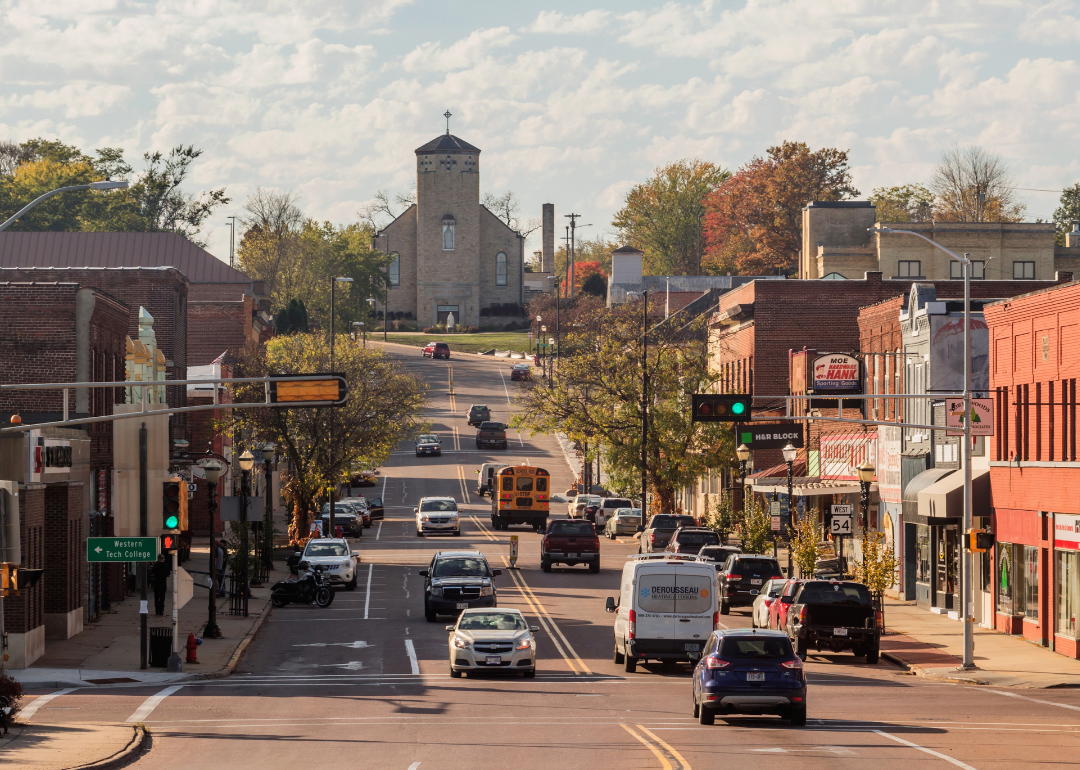
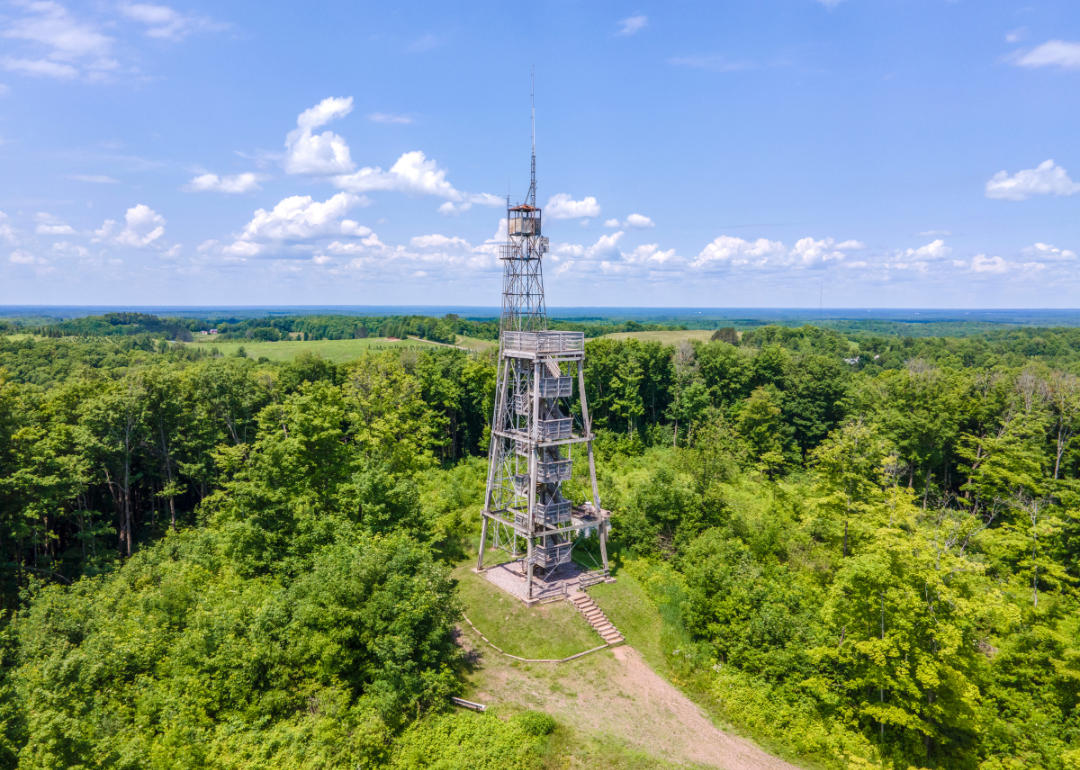
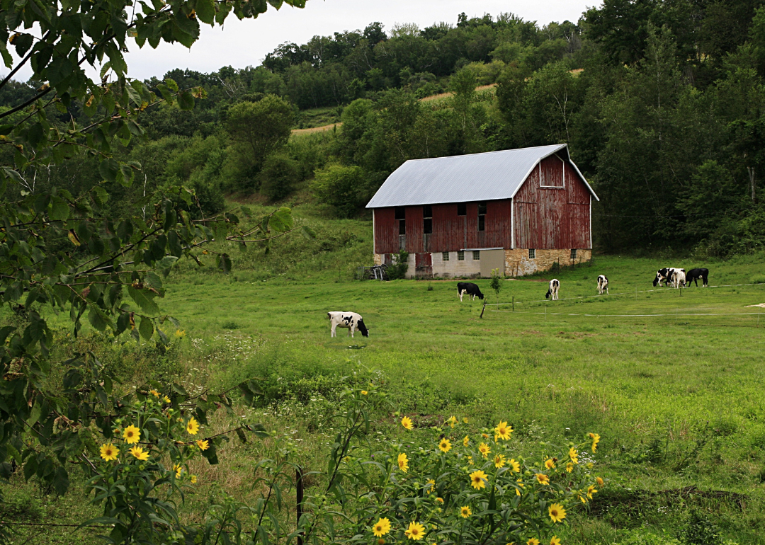
#44. Price County
Keith Bell // Shutterstock
- Tornadoes since 2000: 9 (0.81 per 100 square miles)
- #1,871 nationally
- Tornadoes this year, as of May 31: 0
- #1,871 nationally
- Tornadoes this year, as of May 31: 0
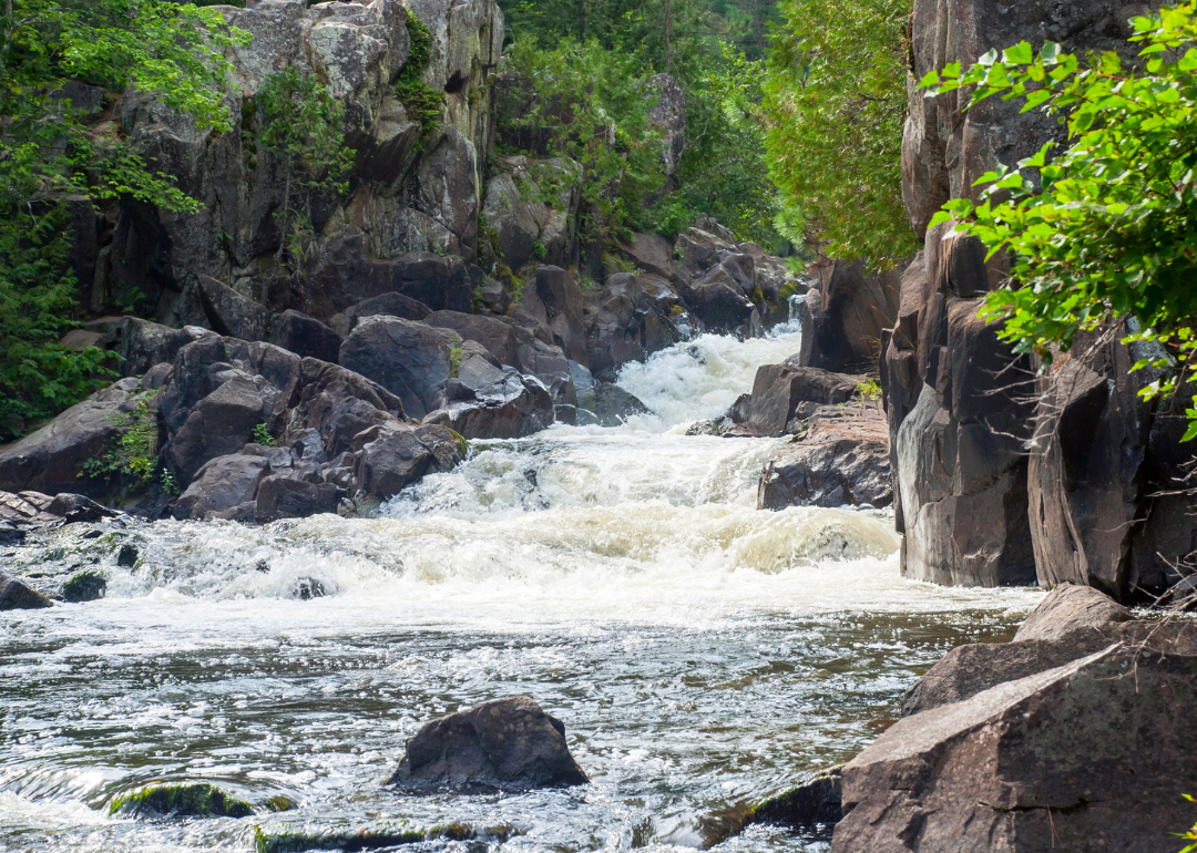
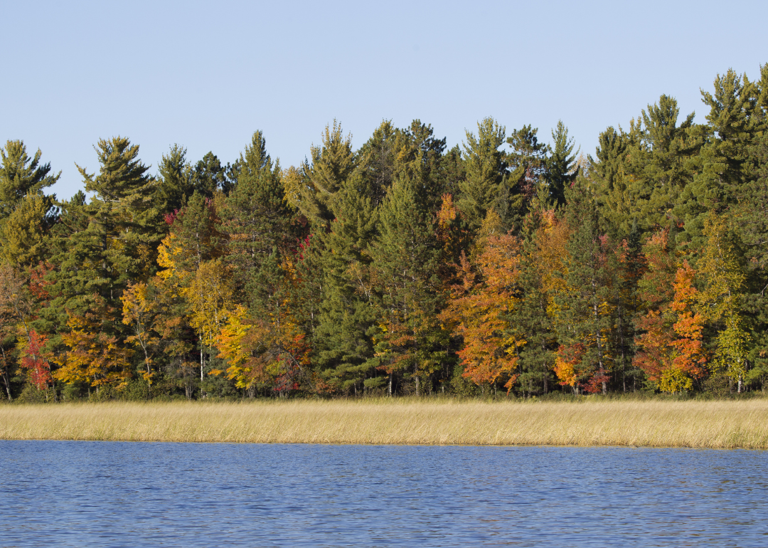
#43. Oneida County

Wirestock Creators // Shutterstock
- Tornadoes since 2000: 5 (0.85 per 100 square miles)
- #1,847 nationally
- Tornadoes this year, as of May 31: 0
- #1,847 nationally
- Tornadoes this year, as of May 31: 0
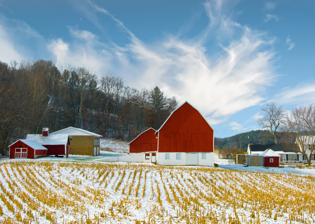
#42. Richland County
Canva
- Tornadoes since 2000: 9 (0.89 per 100 square miles)
- #1,831 nationally
- Tornadoes this year, as of May 31: 0
- #1,831 nationally
- Tornadoes this year, as of May 31: 0
#41. Chippewa County
Canva
- Tornadoes since 2000: 7 (0.91 per 100 square miles)
- #1,817 nationally
- Tornadoes this year, as of May 31: 0
- #1,817 nationally
- Tornadoes this year, as of May 31: 0
#40. Juneau County
Canva
- Tornadoes since 2000: 8 (0.96 per 100 square miles)
- #1,797 nationally
- Tornadoes this year, as of May 31: 0
- #1,797 nationally
- Tornadoes this year, as of May 31: 0
#39. Sauk County
Aaron of L.A. Photography // Shutterstock
- Tornadoes since 2000: 8 (1.01 per 100 square miles)
- #1,771 nationally
- Tornadoes this year, as of May 31: 0
- #1,771 nationally
- Tornadoes this year, as of May 31: 0
#38. Vernon County

Canva
- Tornadoes since 2000: 6 (1.02 per 100 square miles)
- #1,767 nationally
- Tornadoes this year, as of May 31: 0
- #1,767 nationally
- Tornadoes this year, as of May 31: 0
#37. Manitowoc County
Patrick Lansing // Shutterstock
- Tornadoes since 2000: 9 (1.06 per 100 square miles)
- #1,748 nationally
- Tornadoes this year, as of May 31: 0
- #1,748 nationally
- Tornadoes this year, as of May 31: 0
#36. Dunn County

Rebecca Decker // Shutterstock
- Tornadoes since 2000: 13 (1.07 per 100 square miles)
- #1,735 nationally
- Tornadoes this year, as of May 31: 0
- #1,735 nationally
- Tornadoes this year, as of May 31: 0
#35. Clark County
Canva
- Tornadoes since 2000: 10 (1.22 per 100 square miles)
- #1,632 nationally
- Tornadoes this year, as of May 31: 0
- #1,632 nationally
- Tornadoes this year, as of May 31: 0
#34. Burnett County
Canva
- Tornadoes since 2000: 6 (1.33 per 100 square miles)
- #1,537 nationally
- Tornadoes this year, as of May 31: 0
- #1,537 nationally
- Tornadoes this year, as of May 31: 0
#33. La Crosse County
Canva
- Tornadoes since 2000: 12 (1.33 per 100 square miles)
- #1,531 nationally
- Tornadoes this year, as of May 31: 0
- #1,531 nationally
- Tornadoes this year, as of May 31: 0
#32. Monroe County

Canva
- Tornadoes since 2000: 13 (1.48 per 100 square miles)
- #1,432 nationally
- Tornadoes this year, as of May 31: 0
- #1,432 nationally
- Tornadoes this year, as of May 31: 0
#31. Lincoln County
Canva
- Tornadoes since 2000: 23 (1.49 per 100 square miles)
- #1,425 nationally
- Tornadoes this year, as of May 31: 0
- #1,425 nationally
- Tornadoes this year, as of May 31: 0
#30. Marathon County
Canva
- Tornadoes since 2000: 11 (1.50 per 100 square miles)
- #1,414 nationally
- Tornadoes this year, as of May 31: 0
- #1,414 nationally
- Tornadoes this year, as of May 31: 0
#29. Trempealeau County
Canva
- Tornadoes since 2000: 13 (1.51 per 100 square miles)
- #1,411 nationally
- Tornadoes this year, as of May 31: 0
- #1,411 nationally
- Tornadoes this year, as of May 31: 0
#28. Barron County

Suzanne Tucker // Shutterstock
- Tornadoes since 2000: 12 (1.60 per 100 square miles)
- #1,351 nationally
- Tornadoes this year, as of May 31: 0
- #1,351 nationally
- Tornadoes this year, as of May 31: 0
#27. Waupaca County

Canva
- Tornadoes since 2000: 19 (1.66 per 100 square miles)
- #1,306 nationally
- Tornadoes this year, as of May 31: 0
- #1,306 nationally
- Tornadoes this year, as of May 31: 0
#26. Grant County

Canva
- Tornadoes since 2000: 12 (1.67 per 100 square miles)
- #1,296 nationally
- Tornadoes this year, as of May 31: 2
- #1,296 nationally
- Tornadoes this year, as of May 31: 2
#25. Rock County
Canva
- Tornadoes since 2000: 15 (1.71 per 100 square miles)
- #1,269 nationally
- Tornadoes this year, as of May 31: 0
- #1,269 nationally
- Tornadoes this year, as of May 31: 0
#24. Dodge County
Canva
- Tornadoes since 2000: 16 (1.79 per 100 square miles)
- #1,212 nationally
- Tornadoes this year, as of May 31: 0
- #1,212 nationally
- Tornadoes this year, as of May 31: 0
#23. Shawano County
Canva
- Tornadoes since 2000: 13 (1.80 per 100 square miles)
- #1,207 nationally
- Tornadoes this year, as of May 31: 0
- #1,207 nationally
- Tornadoes this year, as of May 31: 0
#22. St. Croix County

Canva
- Tornadoes since 2000: 12 (1.92 per 100 square miles)
- #1,121 nationally
- Tornadoes this year, as of May 31: 0
- #1,121 nationally
- Tornadoes this year, as of May 31: 0
#21. Waushara County
Ken Wolter // Shutterstock
- Tornadoes since 2000: 18 (1.97 per 100 square miles)
- #1,084 nationally
- Tornadoes this year, as of May 31: 0
- #1,084 nationally
- Tornadoes this year, as of May 31: 0
#20. Polk County

Canva
- Tornadoes since 2000: 12 (2.09 per 100 square miles)
- #991 nationally
- Tornadoes this year, as of May 31: 0
- #991 nationally
- Tornadoes this year, as of May 31: 0
#19. Pierce County

Canva
- Tornadoes since 2000: 16 (2.10 per 100 square miles)
- #985 nationally
- Tornadoes this year, as of May 31: 2
- #985 nationally
- Tornadoes this year, as of May 31: 2
#18. Iowa County
Canva
- Tornadoes since 2000: 10 (2.19 per 100 square miles)
- #935 nationally
- Tornadoes this year, as of May 31: 0
- #935 nationally
- Tornadoes this year, as of May 31: 0
#17. Marquette County
Barbara Smits // Shutterstock
- Tornadoes since 2000: 14 (2.21 per 100 square miles)
- #924 nationally
- Tornadoes this year, as of May 31: 2
- #924 nationally
- Tornadoes this year, as of May 31: 2
#16. Lafayette County

Canva
- Tornadoes since 2000: 17 (2.22 per 100 square miles)
- #913 nationally
- Tornadoes this year, as of May 31: 0
- #913 nationally
- Tornadoes this year, as of May 31: 0
#15. Columbia County
Canva
- Tornadoes since 2000: 10 (2.32 per 100 square miles)
- #846 nationally
- Tornadoes this year, as of May 31: 0
- #846 nationally
- Tornadoes this year, as of May 31: 0
#14. Washington County

Canva
- Tornadoes since 2000: 13 (2.45 per 100 square miles)
- #748 nationally
- Tornadoes this year, as of May 31: 0
- #748 nationally
- Tornadoes this year, as of May 31: 0
#13. Brown County

Canva
- Tornadoes since 2000: 14 (2.52 per 100 square miles)
- #721 nationally
- Tornadoes this year, as of May 31: 6
- #721 nationally
- Tornadoes this year, as of May 31: 6
#12. Walworth County

Canva
- Tornadoes since 2000: 14 (2.55 per 100 square miles)
- #706 nationally
- Tornadoes this year, as of May 31: 1
- #706 nationally
- Tornadoes this year, as of May 31: 1
#11. Waukesha County

Canva
- Tornadoes since 2000: 15 (2.57 per 100 square miles)
- #695 nationally
- Tornadoes this year, as of May 31: 3
- #695 nationally
- Tornadoes this year, as of May 31: 3
#10. Green County

Canva
- Tornadoes since 2000: 7 (2.57 per 100 square miles)
- #694 nationally
- Tornadoes this year, as of May 31: 0
- #694 nationally
- Tornadoes this year, as of May 31: 0
#9. Kenosha County

Canva
- Tornadoes since 2000: 9 (2.71 per 100 square miles)
- #630 nationally
- Tornadoes this year, as of May 31: 0
- #630 nationally
- Tornadoes this year, as of May 31: 0
#8. Racine County

Paul Brady Photography // Shutterstock
- Tornadoes since 2000: 37 (3.09 per 100 square miles)
- #464 nationally
- Tornadoes this year, as of May 31: 1
- #464 nationally
- Tornadoes this year, as of May 31: 1
#7. Dane County

Canva
- Tornadoes since 2000: 10 (3.14 per 100 square miles)
- #443 nationally
- Tornadoes this year, as of May 31: 0
- #443 nationally
- Tornadoes this year, as of May 31: 0
#6. Calumet County

Canva
- Tornadoes since 2000: 21 (3.29 per 100 square miles)
- #384 nationally
- Tornadoes this year, as of May 31: 0
- #384 nationally
- Tornadoes this year, as of May 31: 0
#5. Outagamie County

Canva
- Tornadoes since 2000: 26 (3.61 per 100 square miles)
- #302 nationally
- Tornadoes this year, as of May 31: 0
- #302 nationally
- Tornadoes this year, as of May 31: 0
#4. Fond du Lac County

Canva
- Tornadoes since 2000: 21 (4.83 per 100 square miles)
- #120 nationally
- Tornadoes this year, as of May 31: 0
- #120 nationally
- Tornadoes this year, as of May 31: 0
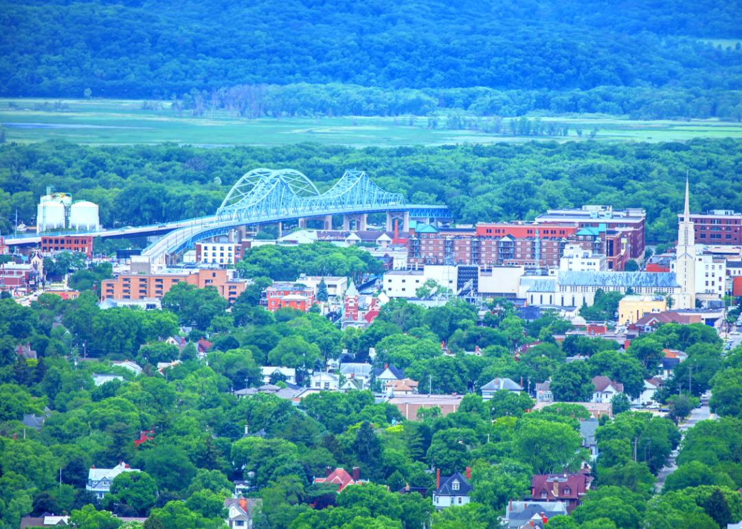
#3. Winnebago County
spiritbridge // Shutterstock
- Tornadoes since 2000: 27 (4.85 per 100 square miles)
- #119 nationally
- Tornadoes this year, as of May 31: 2
- #119 nationally
- Tornadoes this year, as of May 31: 2
#2. Jefferson County
Maarten Daams // Shutterstock
- Tornadoes since 2000: 18 (5.15 per 100 square miles)
- #94 nationally
- Tornadoes this year, as of May 31: 0
- #94 nationally
- Tornadoes this year, as of May 31: 0
#1. Green Lake County
Canva