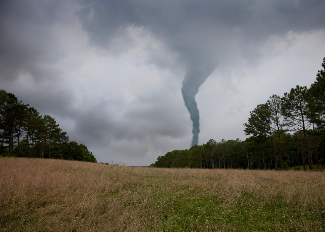
Counties with the most tornadoes in Ohio
Stacker

Kenneth Keifer // Shutterstock
- Tornadoes since 2000: 5 (1.07 per 100 square miles)
- #1,736 nationally
- Tornadoes this year, as of May 31: 0
- #1,736 nationally
- Tornadoes this year, as of May 31: 0
#50. Madison County

JNix // Shutterstock
- Tornadoes since 2000: 6 (1.13 per 100 square miles)
- #1,698 nationally
- Tornadoes this year, as of May 31: 0
- #1,698 nationally
- Tornadoes this year, as of May 31: 0
#49. Columbiana County

Canva
- Tornadoes since 2000: 8 (1.16 per 100 square miles)
- #1,670 nationally
- Tornadoes this year, as of May 31: 1
- #1,670 nationally
- Tornadoes this year, as of May 31: 1
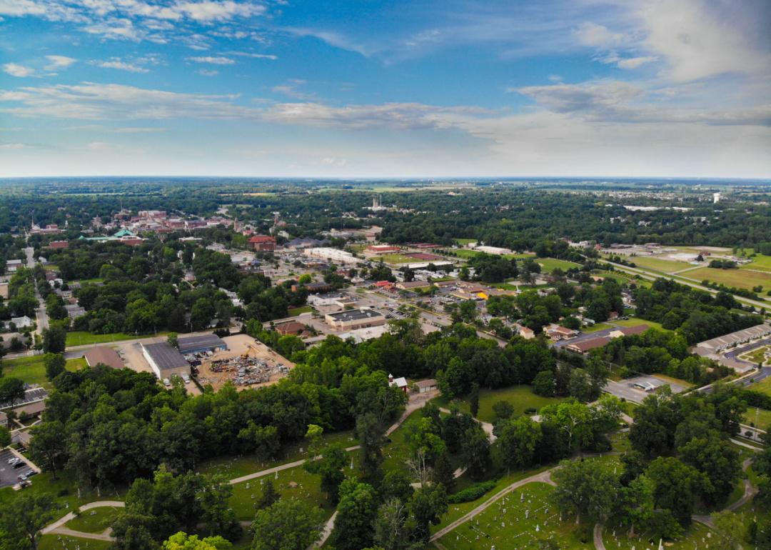
#48. Ross County

Henryk Sadura // Shutterstock
- Tornadoes since 2000: 5 (1.22 per 100 square miles)
- #1,624 nationally
- Tornadoes this year, as of May 31: 0
- #1,624 nationally
- Tornadoes this year, as of May 31: 0
#47. Sandusky County
Canva
- Tornadoes since 2000: 5 (1.22 per 100 square miles)
- #1,622 nationally
- Tornadoes this year, as of May 31: 0
- #1,622 nationally
- Tornadoes this year, as of May 31: 0
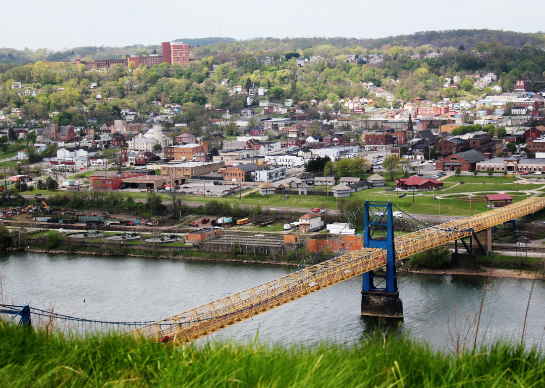
#46. Jefferson County

JNix // Shutterstock
- Tornadoes since 2000: 5 (1.23 per 100 square miles)
- #1,619 nationally
- Tornadoes this year, as of May 31: 0
- #1,619 nationally
- Tornadoes this year, as of May 31: 0
#45. Perry County

photo.ua // Shutterstock
- Tornadoes since 2000: 5 (1.23 per 100 square miles)
- #1,613 nationally
- Tornadoes this year, as of May 31: 0
- #1,613 nationally
- Tornadoes this year, as of May 31: 0
#44. Hamilton County

BLAZE Pro // Shutterstock
- Tornadoes since 2000: 7 (1.23 per 100 square miles)
- #1,611 nationally
- Tornadoes this year, as of May 31: 0
- #1,611 nationally
- Tornadoes this year, as of May 31: 0
#43. Tuscarawas County

Canva
- Tornadoes since 2000: 8 (1.29 per 100 square miles)
- #1,557 nationally
- Tornadoes this year, as of May 31: 0
- #1,557 nationally
- Tornadoes this year, as of May 31: 0
#42. Trumbull County

Kenneth Sponsler // Shutterstock
- Tornadoes since 2000: 9 (1.32 per 100 square miles)
- #1,543 nationally
- Tornadoes this year, as of May 31: 1
- #1,543 nationally
- Tornadoes this year, as of May 31: 1
#41. Licking County
dvgpro // Shutterstock
- Tornadoes since 2000: 6 (1.35 per 100 square miles)
- #1,517 nationally
- Tornadoes this year, as of May 31: 0
- #1,517 nationally
- Tornadoes this year, as of May 31: 0
#40. Delaware County
Canva
- Tornadoes since 2000: 8 (1.37 per 100 square miles)
- #1,506 nationally
- Tornadoes this year, as of May 31: 0
- #1,506 nationally
- Tornadoes this year, as of May 31: 0
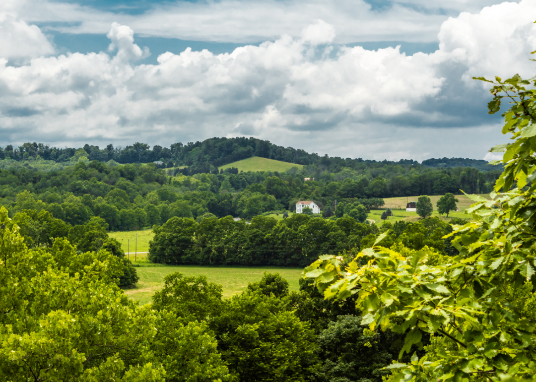
#39. Adams County

Lake Front Drones // Shutterstock
- Tornadoes since 2000: 7 (1.43 per 100 square miles)
- #1,463 nationally
- Tornadoes this year, as of May 31: 0
- #1,463 nationally
- Tornadoes this year, as of May 31: 0
#38. Lorain County

Anne Kitzman // Shutterstock
- Tornadoes since 2000: 6 (1.44 per 100 square miles)
- #1,450 nationally
- Tornadoes this year, as of May 31: 1
- #1,450 nationally
- Tornadoes this year, as of May 31: 1
#37. Paulding County

Canva
- Tornadoes since 2000: 8 (1.45 per 100 square miles)
- #1,446 nationally
- Tornadoes this year, as of May 31: 0
- #1,446 nationally
- Tornadoes this year, as of May 31: 0
#36. Seneca County

The American Explorer // Shutterstock
- Tornadoes since 2000: 6 (1.46 per 100 square miles)
- #1,444 nationally
- Tornadoes this year, as of May 31: 0
- #1,444 nationally
- Tornadoes this year, as of May 31: 0
#35. Vinton County
Canva
- Tornadoes since 2000: 9 (1.62 per 100 square miles)
- #1,333 nationally
- Tornadoes this year, as of May 31: 0
- #1,333 nationally
- Tornadoes this year, as of May 31: 0
#34. Wayne County

jul11h // Shutterstock
- Tornadoes since 2000: 8 (1.64 per 100 square miles)
- #1,318 nationally
- Tornadoes this year, as of May 31: 0
- #1,318 nationally
- Tornadoes this year, as of May 31: 0
#33. Portage County
Canva
- Tornadoes since 2000: 7 (1.65 per 100 square miles)
- #1,311 nationally
- Tornadoes this year, as of May 31: 1
- #1,311 nationally
- Tornadoes this year, as of May 31: 1
#32. Preble County

Showcase Imaging // Shutterstock
- Tornadoes since 2000: 7 (1.70 per 100 square miles)
- #1,281 nationally
- Tornadoes this year, as of May 31: 0
- #1,281 nationally
- Tornadoes this year, as of May 31: 0
#31. Summit County

Michael Shake // Shutterstock
- Tornadoes since 2000: 6 (1.76 per 100 square miles)
- #1,240 nationally
- Tornadoes this year, as of May 31: 0
- #1,240 nationally
- Tornadoes this year, as of May 31: 0
#30. Lucas County

Aiwilliams // Shutterstock
- Tornadoes since 2000: 7 (1.77 per 100 square miles)
- #1,227 nationally
- Tornadoes this year, as of May 31: 0
- #1,227 nationally
- Tornadoes this year, as of May 31: 0
#29. Carroll County

Donna Wickerham // Shutterstock
- Tornadoes since 2000: 9 (1.82 per 100 square miles)
- #1,194 nationally
- Tornadoes this year, as of May 31: 0
- #1,194 nationally
- Tornadoes this year, as of May 31: 0
#28. Richland County

Canva
- Tornadoes since 2000: 8 (1.89 per 100 square miles)
- #1,132 nationally
- Tornadoes this year, as of May 31: 0
- #1,132 nationally
- Tornadoes this year, as of May 31: 0
#27. Ashland County

Canva
- Tornadoes since 2000: 5 (1.96 per 100 square miles)
- #1,093 nationally
- Tornadoes this year, as of May 31: 0
- #1,093 nationally
- Tornadoes this year, as of May 31: 0
#26. Ottawa County

Canva
- Tornadoes since 2000: 11 (1.99 per 100 square miles)
- #1,067 nationally
- Tornadoes this year, as of May 31: 2
- #1,067 nationally
- Tornadoes this year, as of May 31: 2
#25. Highland County

Canva
- Tornadoes since 2000: 10 (2.07 per 100 square miles)
- #1,004 nationally
- Tornadoes this year, as of May 31: 0
- #1,004 nationally
- Tornadoes this year, as of May 31: 0
#24. Putnam County

Canva
- Tornadoes since 2000: 9 (2.21 per 100 square miles)
- #917 nationally
- Tornadoes this year, as of May 31: 0
- #917 nationally
- Tornadoes this year, as of May 31: 0
#23. Fayette County

Kilmer Media // Shutterstock
- Tornadoes since 2000: 9 (2.24 per 100 square miles)
- #896 nationally
- Tornadoes this year, as of May 31: 0
- #896 nationally
- Tornadoes this year, as of May 31: 0
#22. Warren County

Sean Pavone // Shutterstock
- Tornadoes since 2000: 12 (2.25 per 100 square miles)
- #884 nationally
- Tornadoes this year, as of May 31: 0
- #884 nationally
- Tornadoes this year, as of May 31: 0
#21. Franklin County

BLAZE Pro // Shutterstock
- Tornadoes since 2000: 13 (2.26 per 100 square miles)
- #879 nationally
- Tornadoes this year, as of May 31: 0
- #879 nationally
- Tornadoes this year, as of May 31: 0
#20. Stark County

Rosamar // Shutterstock
- Tornadoes since 2000: 14 (2.27 per 100 square miles)
- #872 nationally
- Tornadoes this year, as of May 31: 0
- #872 nationally
- Tornadoes this year, as of May 31: 0
#19. Wood County

Keith J Finks // Shutterstock
- Tornadoes since 2000: 12 (2.44 per 100 square miles)
- #756 nationally
- Tornadoes this year, as of May 31: 0
- #756 nationally
- Tornadoes this year, as of May 31: 0
#18. Huron County

Canva
- Tornadoes since 2000: 11 (2.50 per 100 square miles)
- #730 nationally
- Tornadoes this year, as of May 31: 0
- #730 nationally
- Tornadoes this year, as of May 31: 0
#17. Pike County
Canva
- Tornadoes since 2000: 15 (2.51 per 100 square miles)
- #726 nationally
- Tornadoes this year, as of May 31: 1
- #726 nationally
- Tornadoes this year, as of May 31: 1
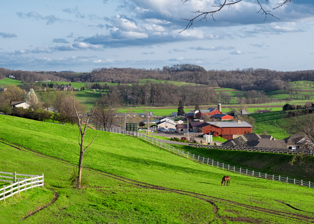
#16. Darke County

Eric Glenn // Shutterstock
- Tornadoes since 2000: 13 (2.58 per 100 square miles)
- #693 nationally
- Tornadoes this year, as of May 31: 2
- #693 nationally
- Tornadoes this year, as of May 31: 2
#15. Fairfield County

CourtneySimons // Shutterstock
- Tornadoes since 2000: 12 (2.59 per 100 square miles)
- #686 nationally
- Tornadoes this year, as of May 31: 1
- #686 nationally
- Tornadoes this year, as of May 31: 1
#14. Mercer County

Kenneth Sponsler // Shutterstock
- Tornadoes since 2000: 11 (2.61 per 100 square miles)
- #676 nationally
- Tornadoes this year, as of May 31: 0
- #676 nationally
- Tornadoes this year, as of May 31: 0
#13. Medina County

Canva
- Tornadoes since 2000: 11 (2.64 per 100 square miles)
- #653 nationally
- Tornadoes this year, as of May 31: 0
- #653 nationally
- Tornadoes this year, as of May 31: 0
#12. Henry County
Bravo Charlie Productions // Shutterstock
- Tornadoes since 2000: 11 (2.73 per 100 square miles)
- #621 nationally
- Tornadoes this year, as of May 31: 3
- #621 nationally
- Tornadoes this year, as of May 31: 3
#11. Allen County

JNix // Shutterstock
- Tornadoes since 2000: 14 (2.79 per 100 square miles)
- #590 nationally
- Tornadoes this year, as of May 31: 1
- #590 nationally
- Tornadoes this year, as of May 31: 1
#10. Pickaway County

Canva
- Tornadoes since 2000: 13 (2.82 per 100 square miles)
- #581 nationally
- Tornadoes this year, as of May 31: 0
- #581 nationally
- Tornadoes this year, as of May 31: 0
#9. Montgomery County

Almal3xia // Shutterstock
- Tornadoes since 2000: 12 (2.90 per 100 square miles)
- #545 nationally
- Tornadoes this year, as of May 31: 0
- #545 nationally
- Tornadoes this year, as of May 31: 0
#8. Greene County

Canva
- Tornadoes since 2000: 14 (3.10 per 100 square miles)
- #461 nationally
- Tornadoes this year, as of May 31: 1
- #461 nationally
- Tornadoes this year, as of May 31: 1
#7. Clermont County

ADC Bradley // Shutterstock
- Tornadoes since 2000: 16 (3.27 per 100 square miles)
- #395 nationally
- Tornadoes this year, as of May 31: 0
- #395 nationally
- Tornadoes this year, as of May 31: 0
#6. Brown County

Canva
- Tornadoes since 2000: 15 (3.74 per 100 square miles)
- #279 nationally
- Tornadoes this year, as of May 31: 4
- #279 nationally
- Tornadoes this year, as of May 31: 4
#5. Auglaize County

JNix // Shutterstock
- Tornadoes since 2000: 16 (3.92 per 100 square miles)
- #244 nationally
- Tornadoes this year, as of May 31: 0
- #244 nationally
- Tornadoes this year, as of May 31: 0
#4. Clinton County
James Marciniak // Shutterstock
- Tornadoes since 2000: 17 (4.28 per 100 square miles)
- #189 nationally
- Tornadoes this year, as of May 31: 1
- #189 nationally
- Tornadoes this year, as of May 31: 1
#3. Clark County

Canva
- Tornadoes since 2000: 19 (4.67 per 100 square miles)
- #131 nationally
- Tornadoes this year, as of May 31: 2
- #131 nationally
- Tornadoes this year, as of May 31: 2
#2. Miami County

Nagel Photography // Shutterstock
- Tornadoes since 2000: 28 (6.84 per 100 square miles)
- #27 nationally
- Tornadoes this year, as of May 31: 1
- #27 nationally
- Tornadoes this year, as of May 31: 1
#1. Van Wert County
Canva